Downloadables
Please feel free to download maps, posters, fact sheet, safety bulletin and other materials for use in your communities and events. We appreciate it if you credit NASA.
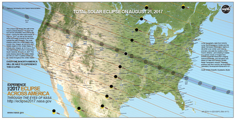
Total Solar Eclipse 2017 Path USA Map
This unique map shows the path of the moon’s umbral shadow – in which the sun will be completely obscured by the moon – during the total solar eclipse of Aug. 21, 2017, as well as the fraction of the sun’s area covered by the moon outside the path of totality. The lunar shadow enters the United States near Lincoln City, Oregon, at 9:05 a.m. PDT. Totality begins in the United States in Lincoln City, Oregon, at 10:16 a.m. PDT. The total eclipse will end in Charleston, South Carolina, at 2:48 p.m. EDT. The lunar shadow leaves the United States at 4:09 p.m. EDT. A partial eclipse will be visible throughout the United States.
Eclipse Science
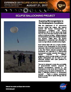
Eclipse Ballooning Project
Citizen Science
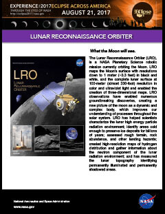
Lunar Reconnaissance Orbiter
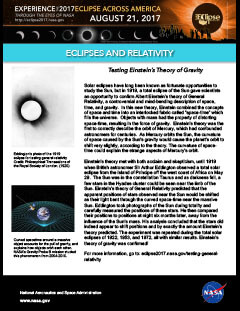
Eclipses and Relativity
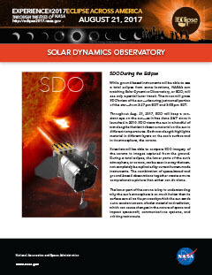
Solar Dynamics Observatory
Hinode

Interface Region Imaging Spectrograph

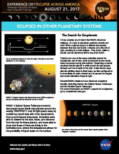
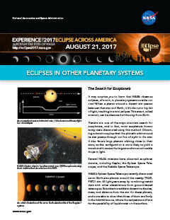
Eclipses in other planetary Systems
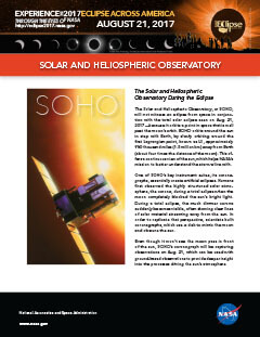
Solar and Heliospheric Observatory
Solar Terrestrial Relations Observatory

Aqua

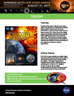
DSCOVR
GOES-16

SNPP

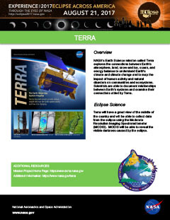
Terra
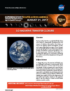
3D Radiative Transfer Closure
Chasing the 2017 eclipse

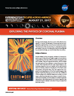
Coronal Plasma
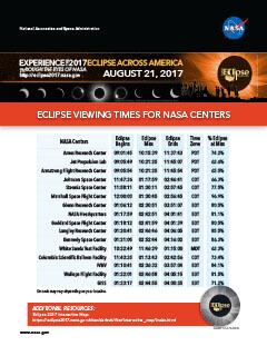
Eclipse Times For NASA Centers
Induced Ionosphere

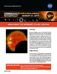
Infrared Solar Corona
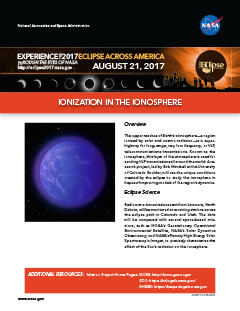
Ionization In The Ionosphere
Land Atmospheric Responses

Other Planetary Systems
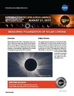
Polarization of Solar Corona
Rosetta Stone Experiments

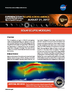
Solar Eclipse Modeling
Testing Polarization Sensor