NOAA's Resources
NOAA’S NATIONAL WEATHER SERVICE
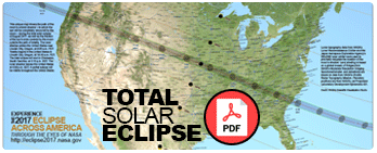
For latest weather forecasts along the path of the totality.
http://weather.gov/eclipse
NOAA CENTERS FOR ENVIRONMENTAL INFORMATION
For maps showing the chances of viewing the total solar eclipse, based on historical cloudiness data.
http://ncei.noaa.gov/news/ready-set-eclipse
NOAA’S SATELLITE AND INFORMATION SERVICE
For satellite imagery and animation of the total solar eclipse.
https://www.nesdis.noaa.gov
NOAA National Environmental Satellite, Data, and Information Service (NESDIS)
NOAA's GOES-16 satellite will have a clear view of the moon’s shadow as it travels diagonally across the United States, from the Pacific Northwest through South Carolina. We'll be sharing a variety of GOES-16 images and animations throughout the day, including:
- The beginning of the eclipse on the West Coast
- The path of the eclipse across the entire U.S.
- The moon’s shadow as it passes beyond the U.S.
We'll also have images from the EPIC camera on board NOAA’s DSCOVR satellite. Sitting one million miles from Earth, between our planet and the sun, DSCOVR will offer its own unique perspective on the eclipse!
https://www.nesdis.noaa.gov/content/multimedia